
Interstate 95 in Florida
From Wikipedia, the free encyclopedia
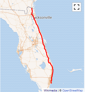
Interstate 95 (I-95) is the main Interstate Highway of Florida's Atlantic Coast. It begins at a partial interchange with U.S. Highway 1 (US 1) just south of downtown Miami, and heads north past Daytona Beach, through Jacksonville, and to the Georgia state line at the St. Marys River near Becker. The route also passes through the cities of Fort Lauderdale, West Palm Beach, and Titusville.
Interstate 95 runs for 382 miles (615 km), the southernmost 12.848 miles (20.677 km) of which are unsigned as State Road 9A, and the remainder being the unsigned portion of State Road 9....
I-95 FL Exits
Highway I-95 runs South to North with exit numbers starting at the southern most exit of each state or province.
Lodging Fuel Food Vehicle Shopping Entertainment/Tourist Medical Assistance Police Fire Pets Bank/ATM