
Interstate 80 in Ohio
From Wikipedia, the free encyclopedia
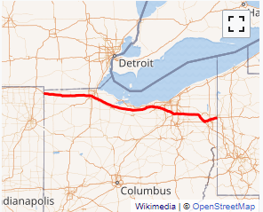
Interstate 80 (I-80) in the U.S. state of Ohio runs across the northern part of the state. Most of the route is part of the Ohio Turnpike; only an 18.78-mile (30.22 km) stretch is not part of the toll road. That stretch of road is the feeder route to the Keystone Shortway, a shortcut through northern Pennsylvania that provides access to New York City....
Full Wikipedia TopicI-80 OH Exits
Highway I-80 runs West to East with exit numbers starting at the western most exit of each state or province.
Lodging Fuel Food Vehicle Shopping Entertainment/Tourist Medical Assistance Police Fire Pets Bank/ATM