
Interstate 80 in California
From Wikipedia, the free encyclopedia
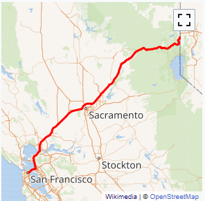
Interstate 80 (I-80) is a transcontinental Interstate Highway in the United States, stretching from San Francisco, California, to Teaneck, New Jersey. The segment of I-80 in California runs east from San Francisco across the Bay Bridge to Oakland, where it turns north and crosses the Carquinez Bridge before turning back northeast through the Sacramento Valley. I-80 then traverses the Sierra Nevada, cresting at Donner Summit, before crossing into the state of Nevada within the Truckee River Canyon. The speed limit is at most 65 miles per hour (105 km/h) along the entire route instead of the state's maximum of 70 mph (110 km/h) and most of the route is in either urban areas or mountainous terrain. I-80 has portions designated as the Eastshore Freeway and Alan S. Hart Freeway.
Throughout California, I-80 was built along the corridor of U.S. Route 40 (US 40), eventually replacing this designation entirely. The prior US 40 corridor itself was built along several historic corridors in California, notably the California Trail and Lincoln Highway. The route has changed from the original plans in San Francisco due to freeway revolts canceling segments of the originally planned alignment. Similarly in Sacramento, the freeway was re-routed around the city after plans to upgrade the original grandfathered route through the city to Interstate highway standards were cancelled....
I-80 CA Exits
Highway I-80 runs West to East with exit numbers starting at the western most exit of each state or province.
Lodging Fuel Food Vehicle Shopping Entertainment/Tourist Medical Assistance Police Fire Pets Bank/ATM