
Interstate 85 in Georgia
From Wikipedia, the free encyclopedia
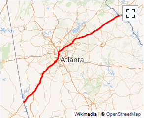
Interstate 85 (I-85) is a major Interstate Highway that travels northeast-to-southwest in the U.S. state of Georgia. It enters the state at the Alabama state line near West Point, and Lanett, Alabama, traveling through the Atlanta metropolitan area and to the South Carolina state line, where it crosses the Savannah River near Lake Hartwell. I-85 connects northern Georgia with Montgomery, Alabama, to the southwest, and with South Carolina, North Carolina, and Virginia to the northeast. Within Georgia, I-85 is also designated as the unsigned State Route 403 (SR 403).
I-85 in Georgia usually travels roughly parallel with the route of U.S. Route 29 (US 29). However, from Atlanta northeast to South Carolina, I-85 ventures away from that route, traveling about halfway between US 29 and the combination of US 23 and US 123.
Within the City of Atlanta, I-85 has a concurrency with I-75 known as the \...
I-85 GA Exits
Highway I-85 runs South to North with exit numbers starting at the southern most exit of each state or province.
Lodging Fuel Food Vehicle Shopping Entertainment/Tourist Medical Assistance Police Fire Pets Bank/ATM