
Interstate 55 in Mississippi
From Wikipedia, the free encyclopedia
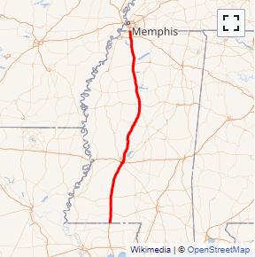
Interstate 55 (I-55) is a major north\south Interstate Highway that serves the middle of the United States. It runs 963.5 miles (1,550.6 km) from Interstate 10 in Laplace, Louisiana - about 25 miles (40 km) west of New Orleans to U.S. 41 in Chicago, Illinois. In Mississippi, it runs for about 290.41 miles (467.37 km), entering the state at the Louisiana state line near Osyka and leaving at the Tennessee state line near Southaven, just south of Memphis....
Full Wikipedia TopicI-55 MS Exits
Highway I-55 runs South to North with exit numbers starting at the southern most exit of each state or province.
Lodging Fuel Food Vehicle Shopping Entertainment/Tourist Medical Assistance Police Fire Pets Bank/ATM